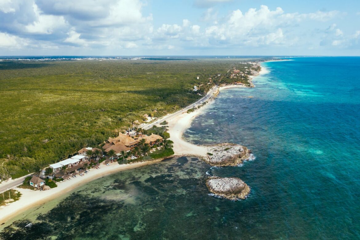
The Riviera Maya is a natural paradise where tropical rainforest meets the Caribbean Sea, offering unforgettable experiences for ecotourism and adventure enthusiasts. Among its greatest treasures are the cenotes, freshwater geological formations once considered sacred by the Mayan civilization. Today, these stunning natural pools invite travelers to immerse themselves in their beauty and mystery. If you’re planning your next getaway with Royal Holiday, exploring these cenotes is an experience you won’t want to miss.
-
CENOTE IK KIL (CHICHEN ITZÁ)
Tripadvisor
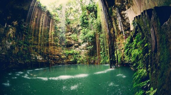
Located near the famous ruins of Chichen Itzá, Ik Kil Cenote is one of the most iconic in the region. With a diameter of approximately 60 meters and a depth of 40 meters, its crystal-clear waters are surrounded by lush vegetation and cascading waterfalls. Considered sacred by the Mayans for religious rituals, today it is an amazing spot to swim and connect with nature.
-
CENOTE X’KEKEN (VALLADOLID)
Tripadvisor
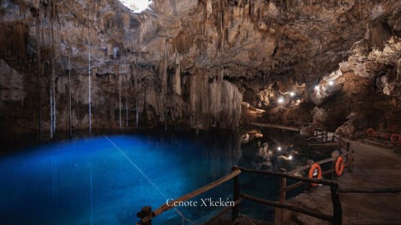
Near the colonial city of Valladolid, Cenote X’keken is renowned for its mystical atmosphere and its stalactite and stalagmite formations. Measuring 25 meters across and 20 meters deep, its turquoise waters are perfect for a relaxing swim. Sunlight filtering through the cave creates a mesmerizing display, making it a truly unique experience.
-
CENOTE SUYTUN (VALLADOLID)
Tripadvisor
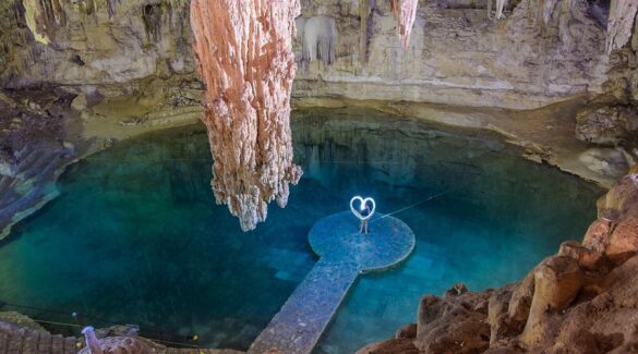
Just a few kilometers from Valladolid, Cenote Suytun is famous for its circular platform in the center of the cave, suspended above the crystal-clear waters. At specific times of day, sunlight covers the platform, creating a magical effect perfect for photo opportunities. Its serene environment also provides the perfect setting to connect with nature.
Make sure to visit these spots during your trip.
-
CENOTE DOS OJOS (TULUM)
Tripadvisor
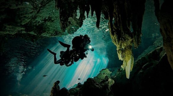
Located near Tulum, Cenote Dos Ojos is a system of interconnected underground caves, ideal for snorkeling and diving. Its name, meaning “Two Eyes,” comes from the two waterholes that make up the cenote. Visitors can explore around rock formations and swim in crystal-clear waters. Thanks to its natural beauty and accessibility, it is one of the most visited cenotes in the Riviera Maya.
-
GRAN CENOTE (TULUM)
Tripadvisor
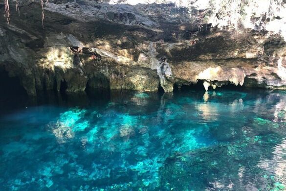
Also located near Tulum, the Gran Cenote is an ideal spot for swimming and snorkeling. Surrounded by lush vegetation and crystal-clear waters, it offers a serene setting to unwind and connect with nature, making it one of the most popular cenotes in the region.
TIPS WHEN VISITING THE CENOTES:
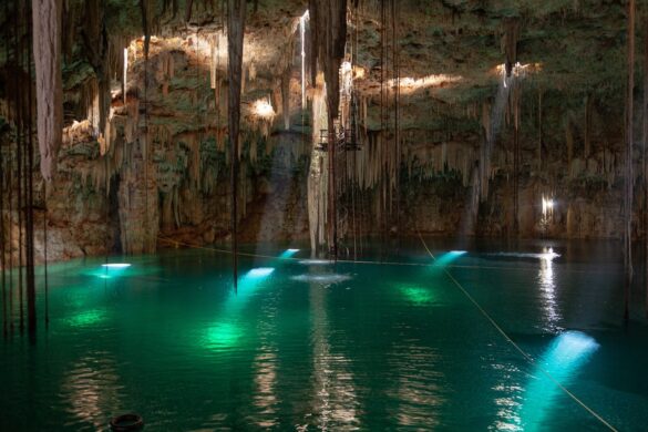
- Arrive early: Beat the crowds and soak in the peaceful beauty of the cenote before it gets busy.
- Pack smart: Bring a swimsuit, towel, biodegradable sunscreen, and water shoes for comfort and safety.
- Follow local guidelines: Many cenotes require life jackets, these rules help ensure everyone’s safety.
- Be a responsible traveler: Protect these natural wonders by following posted signs and taking all your belongings and trash with you.
Exploring the cenotes of the Riviera Maya is like stepping into Mexico’s living history, where nature, culture, and adventure meet. With Royal Holiday, you can plan your visit with ease and comfort, creating an unforgettable experience in one of the most breathtaking destinations in the world.

